


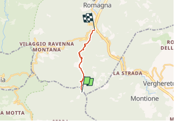

4.1 km | 7.1 km-effort

Tous les sentiers balisés d’Europe GUIDE+


FREE GPS app for hiking
 SityTrail
IGN / Geographical institutes
SityTrail World
The world is yours!
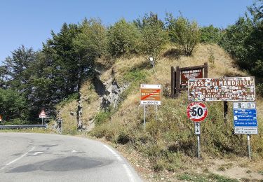
Trail On foot of 5 km to be discovered at Tuscany, Arezzo, Chiusi della Verna. This trail is proposed by SityTrail - itinéraires balisés pédestres.
Trail created by Comune di Bagno di Romagna.
Symbol: rettangolo rosso con banda orizzontale bianca. testo in nero


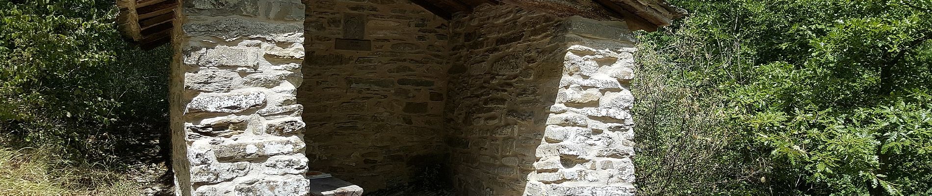
On foot

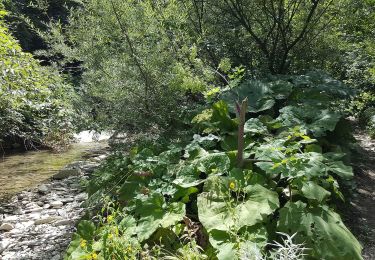
On foot
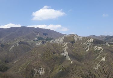
On foot

On foot
On foot
On foot

On foot
On foot

On foot